Trail Mountain bike Le Saix - VTT19 - Le tour d'Aujour - Photo

Les Hautes Alpes à découvrir ! GUIDE+

© OpenStreetMap contributors
Length
Length
24 km
Max alt
Max alt
1590 m
Uphill gradient
Uphill gradient
1212 m
Km-Effort
Km-Effort  
40 km
Min alt
Min alt
828 m
Downhill gradient
Downhill gradient
1213 m
Boucle
Boucle
Yes
Creation date :
2018-03-23 05:40:29.374
Updated on :
2018-10-17 07:40:33.452

(0 Reviews)

Mountain bike
Mountain bike
2h25
Difficulty : Very difficult

Scan this QR Code to open this trail in the SityTrail application

FREE GPS app for hiking

Logo SityTrail SityTrail

IGN / Geographical institutes

Download SityTrail from the App Store Download SityTrail from Google Play

Logo SityTrail SityTrail World

The world is yours!

Download SityTrail from the App Store Download SityTrail from Google Play Download SityTrail on Huawei AppGallery

About

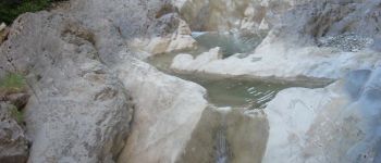
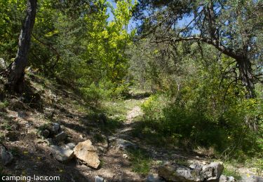
Trail Mountain bike of 24 km to be discovered at Provence-Alpes-Côte d'Azur, Hautes-Alpes, Le Saix. This trail is proposed by Camping Les Rives du Lac.

Description

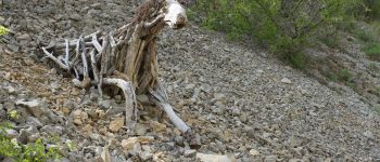
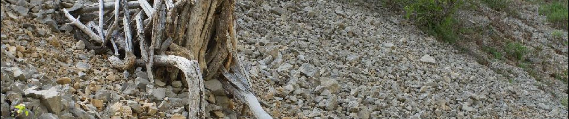
Departure from the village of Saix. Rando with a long climb on forest track, then a very technical descent by the south side of the mountain of Aujour.
We do not respect the original meaning of the arrow course because we find it more interesting as presented here. (climb by forest track and descent on single track).

Elevation profile

Photos

Points of interest

Point of interest Le Saix - Le défilé du Gouravour - Photo
CampingLesRivesduLac
Point of interest Le Saix - La ferme du Fai - Photo
CampingLesRivesduLac
Point of interest Le Saix - Suivre le GR94 - Photo
CampingLesRivesduLac
Point of interest Le Saix - Traverser et remonter sur la piste forestière - Photo
CampingLesRivesduLac

Positioning

Country:
France
Region :
Provence-Alpes-Côte d'Azur
Department/Province :
Hautes-Alpes
Municipality :
Le Saix
Location:
Unknown
Start:(UTM)
724746 ; 4928490 (31T) N.

Trails nearby

Trail Walking Le Saix - R08 La boucle des cascades jaunes - Photo
Walking
GUIDE+

Walking

Very easy
(1)
Le Saix, Provence-Alpes-Côte d'Azur, Hautes-Alpes, France
5.5 km | 10.3 km-effort
2h 10min
Yes
Trail Mountain bike Veynes - VTT29 - Rando famille - Photo
Mountain bike
GUIDE+

Mountain bike

Easy
(1)
Veynes, Provence-Alpes-Côte d'Azur, Hautes-Alpes, France
10.9 km | 13.6 km-effort
54min
Yes
Trail Mountain bike Veynes - VTT14 - Les crêtes de la Longeagne - Photo
Mountain bike
GUIDE+

Mountain bike

Very difficult
(1)
Veynes, Provence-Alpes-Côte d'Azur, Hautes-Alpes, France
39 km | 57 km-effort
3h 15min
Yes
Trail Mountain bike Veynes - VTT03 - Tous les Eygaux - Photo
Mountain bike
GUIDE+

Mountain bike

Medium
(2)
Veynes, Provence-Alpes-Côte d'Azur, Hautes-Alpes, France
23 km | 31 km-effort
1h 31min
Yes
Trail Mountain bike Veynes - VTT02 - Aiguebelle - Photo
Mountain bike
GUIDE+

Mountain bike

Easy
(2)
Veynes, Provence-Alpes-Côte d'Azur, Hautes-Alpes, France
16.7 km | 21 km-effort
1h 23min
Yes
Trail Mountain bike Veynes - VTT01 - Les Eygaux - Photo
Mountain bike
GUIDE+

Mountain bike

Easy
(3)
Veynes, Provence-Alpes-Côte d'Azur, Hautes-Alpes, France
14.1 km | 19.2 km-effort
1h 13min
Yes
Trail Walking Veynes - R10   Le tour des Eygaux - Photo
Walking
GUIDE+

Walking

Very easy
(4)
Veynes, Provence-Alpes-Côte d'Azur, Hautes-Alpes, France
7.8 km | 11.3 km-effort
2h 24min
Yes
Trail Walking Veynes - R09   Le tour de Veynes - Photo
Walking
GUIDE+

Walking

Very easy
(3)
Veynes, Provence-Alpes-Côte d'Azur, Hautes-Alpes, France
9.5 km | 12.3 km-effort
2h 40min
Yes
Trail Walking Le Saix - R07   le fai - Photo
Walking
GUIDE+

Walking

Easy
(4)
Le Saix, Provence-Alpes-Côte d'Azur, Hautes-Alpes, France
5.1 km | 8 km-effort
1h 42min
Yes


Close
My subscriptions